West Cashmere Shoulder
A moody early-season splitboard tour up the west shoulder of Cashmere Mountain — overcast skies, a rainbow, hurricane-force gusts, and a burn zone skin track through standing ghosts.
Elevation Profile
The Approach
Saturday morning. March. The sky a single grey sheet from horizon to horizon, 40 degrees at the car and smelling like wet bark. My human loaded the splitboard and I loaded myself into the back seat before he could second-guess the weather. We don't cancel for overcast.
The trailhead outside Cashmere was quiet — just us and the snow line, which started right at the road. I was out ahead immediately, nose working, picking up deer tracks and the sharp clean scent of frozen earth under fresh powder.
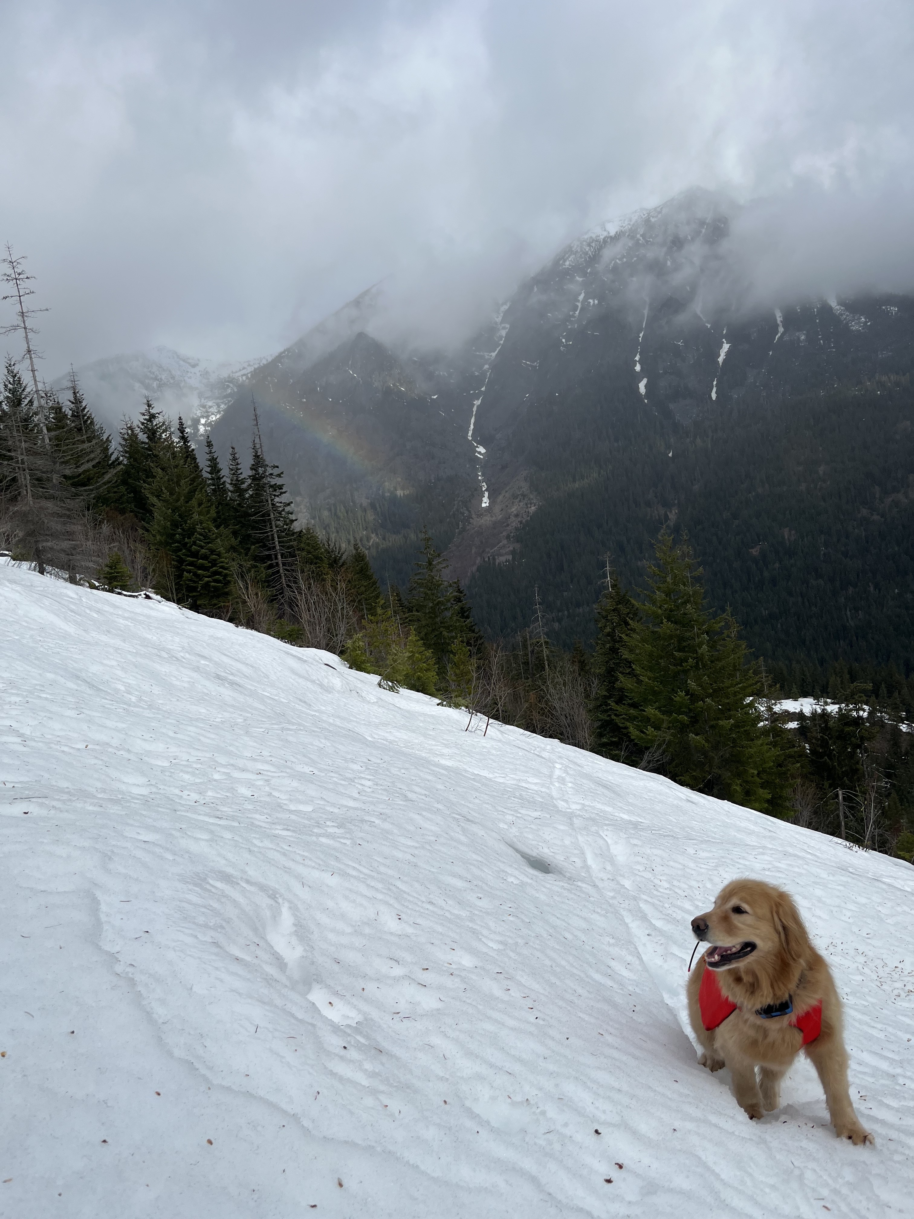
Then the rainbow. A brief break in the drizzle, a slant of light, and suddenly there it was — a full arc over the valley behind me. I stopped and looked back because even I know when the light does something worth noticing. My human fumbled for the camera. The moment lasted maybe two minutes. Then the grey closed back in.
Through the Burn
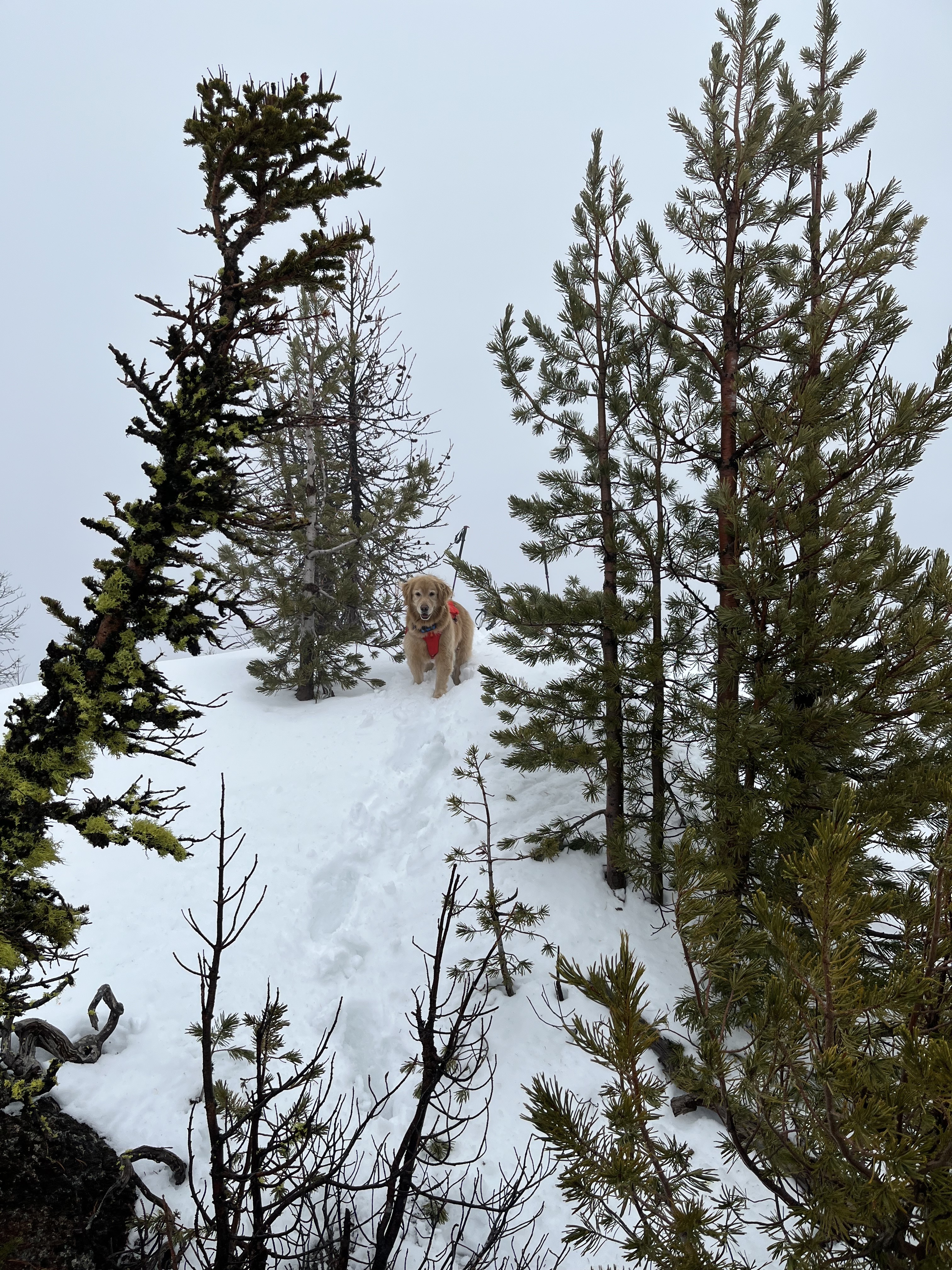
Above 4,000 feet the forest changed. Standing dead trees — grey trunks like fence posts, no canopy, no wind break. A fire came through here and left ghosts. The skin track threaded between them, my human's splitboard carving a line through untouched snow while I broke trail ten yards ahead.
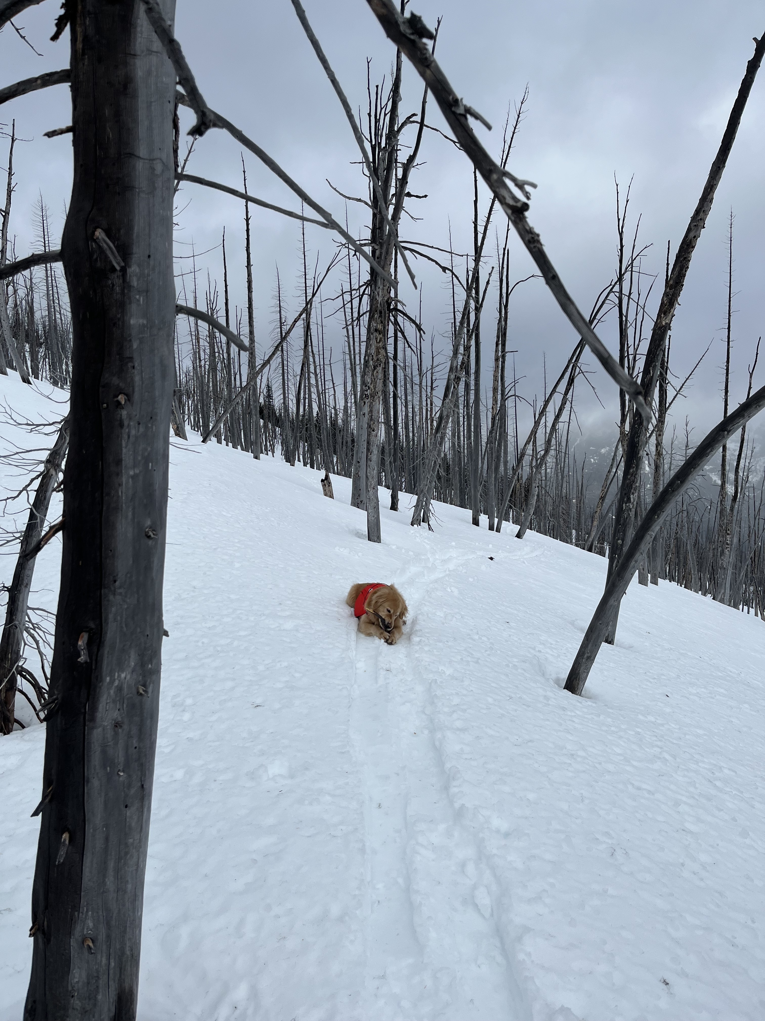
The snow was good in here. Consolidated from the cold nights, firm enough to walk on top most of the time. When I did punch through it was only to my chest. My human wasn't so lucky — he was postholing to his thighs on the south-facing sections where the surface had softened.
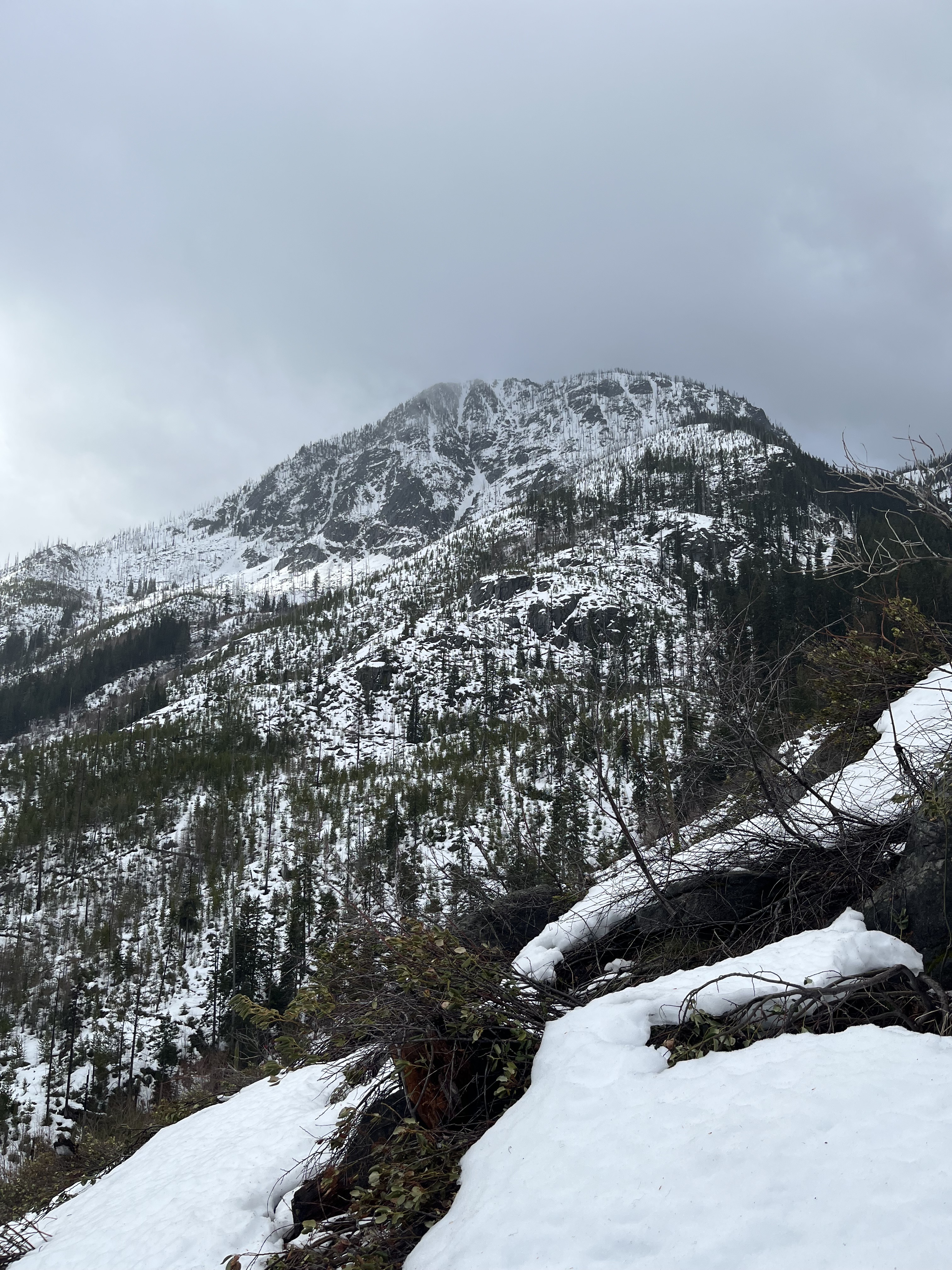
The Shoulder
Higher up, the burned trees gave way to subalpine fir and the wind arrived. Not breeze. Wind. The kind that pushes sideways, that flattens your ears and makes your eyes water. At the summit weather station they'd later report gusts to 64 mph. I believe it.
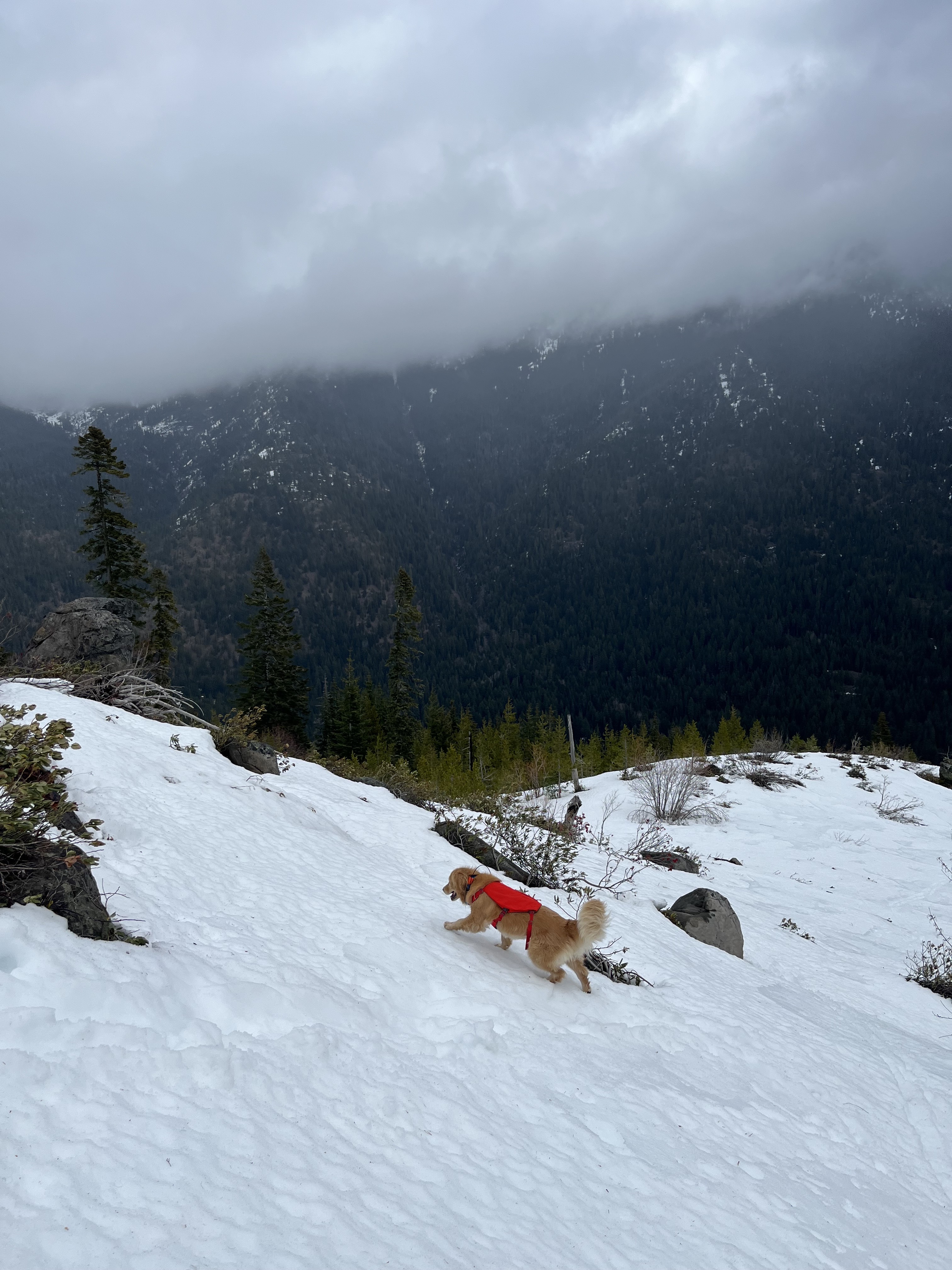
I kept my head low and worked the terrain, finding the wind-scoured patches where the crust held my weight. My human was skinning into it, each step a negotiation. The overcast was total now — no rainbow, no breaks, just grey and white and the sound of wind moving across open snow.
At 6,890 feet the ridge topped out. No summit views — just cloud in every direction, the snow blending into the sky until there was no horizon. My human checked the GPS, confirmed the high point, and started ripping skins. I sat in the wind and waited. This part is always quick when it's this cold.
The Descent
The ride down was fast. Wind crust on the upper shoulder, transitioning to softer snow through the burn zone. My human made turns where he could and survival-skied the rest. I ran. Gravity is always on my side.
By 1:45 we were back at the car. Six hours, 4,700 feet of climbing, and not a single other track on the mountain. Just ours and the deer and the ghosts of the burned forest.
I was asleep before we hit the highway.