Lichtenberg Mountain SE Couloir
A bluebird morning on Lichtenberg Mountain — skinning up the south ridge and dropping the SE Couloir with 2,100 feet of steep turns back to the highway.
Elevation Profile
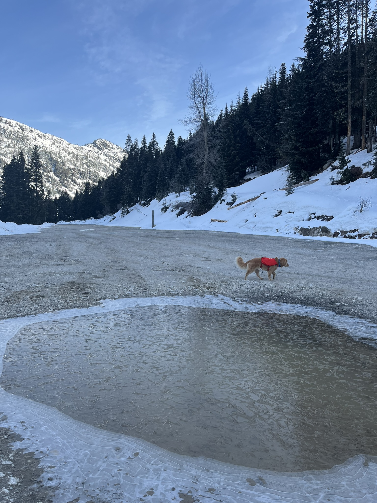
The Parking Lot
Friday morning, late March. The kind of morning where the puddles in the parking lot have frozen into sheets of cloudy ice and the air bites the inside of your nose. My human was already clicking boots into bindings. I was already across the lot, investigating a particularly interesting frozen puddle.
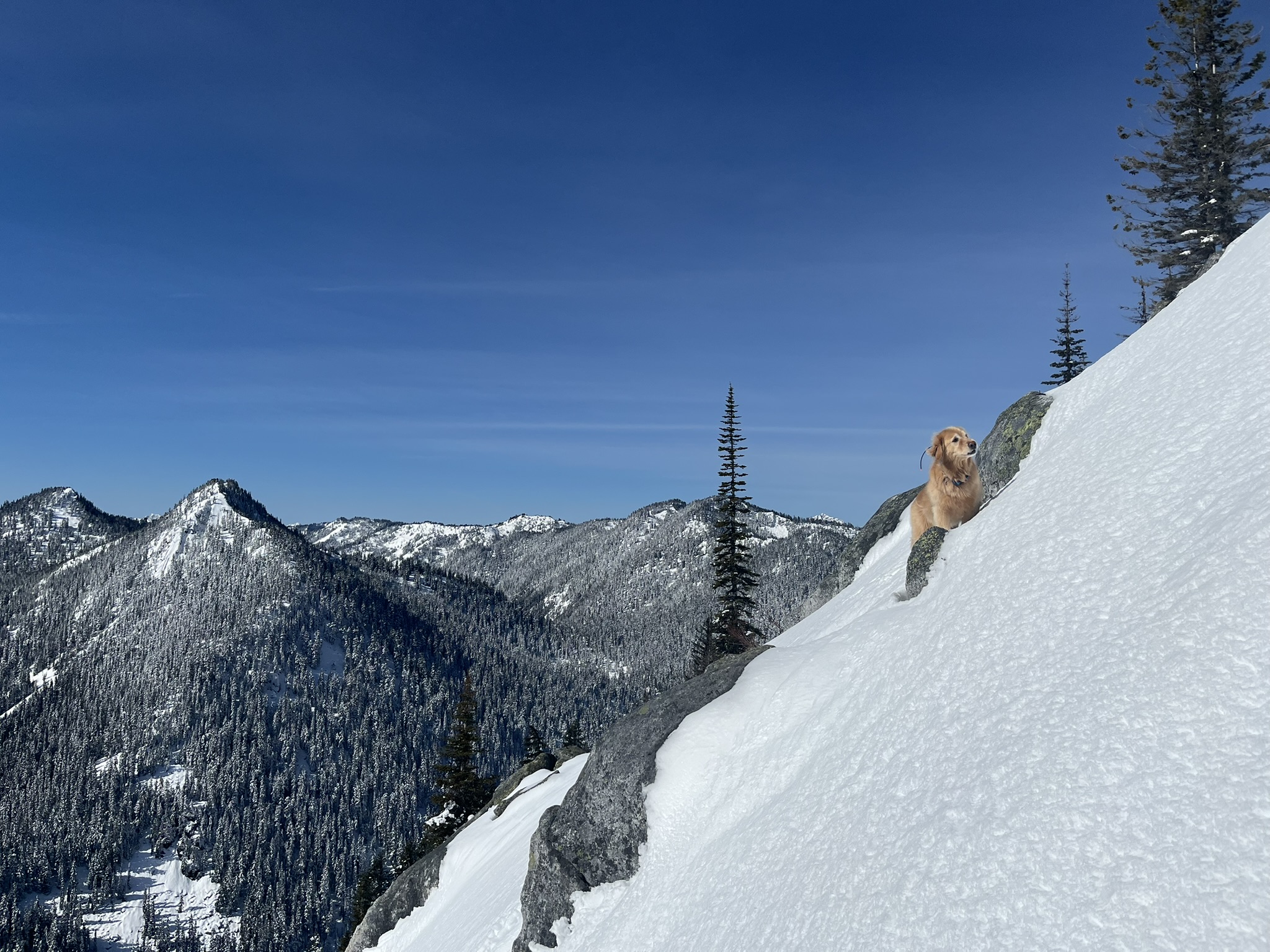
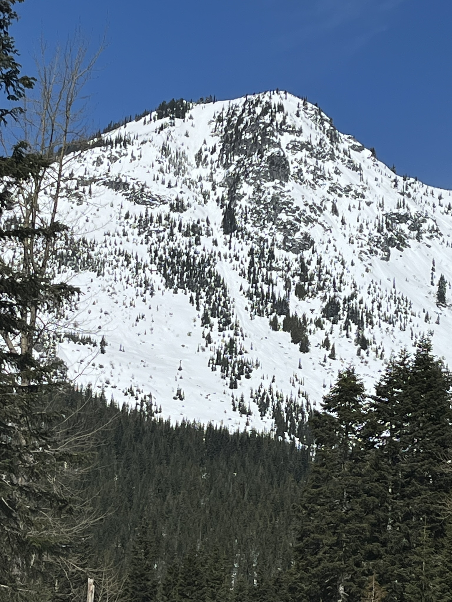
Lichtenberg Mountain sat above us to the north — a big triangular thing caked in white, the SE Couloir drawn on its face like a crease in a bedsheet. We'd be up there in a few hours. For now, I had ice to sniff.
The Skin Track
The first thousand vertical feet were forest. Dense, quiet, the kind of old Cascades timber where the snow sits heavy on every branch and the only sound is the rasp of skins on crust. My human set the track. I broke trail ahead of him, punching through the surface into knee-deep snow, then bounding forward, then punching through again. Standard procedure.
No photos from this section. When you're postholing through deep snow for two hours, you don't stop for pictures. You just keep moving and trust that the trees will eventually thin.
They did.
Above Treeline
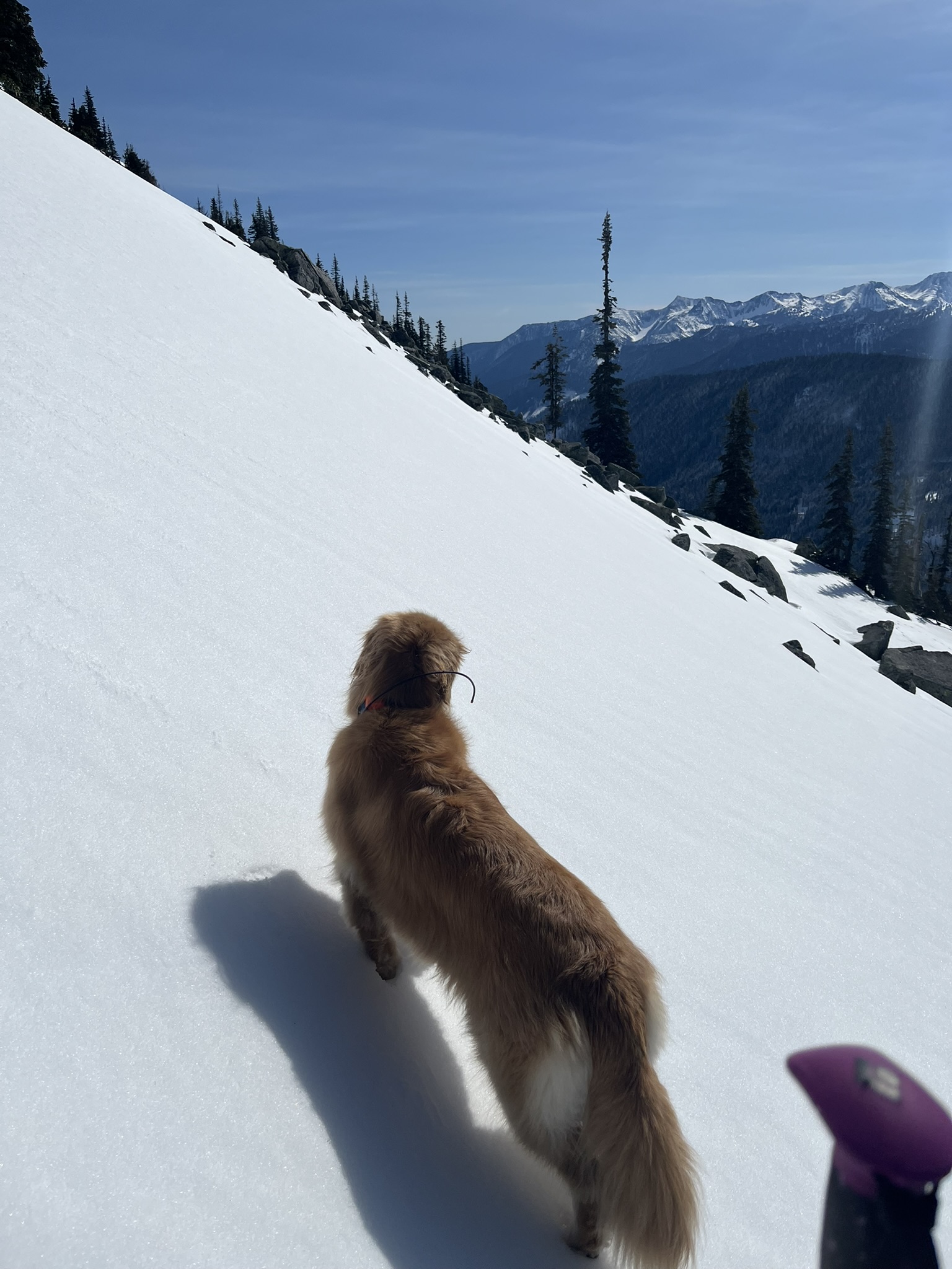
By 5,000 feet the forest opened up and the whole world changed. Subalpine firs stood in scattered clusters, bent and frosted, and between them the view kept growing — ridge after ridge after ridge, every one of them white, stretching south and east under a sky so blue it almost hurt.
I stopped and looked back. Not because I was tired. Because sometimes you climb out of the trees and the mountains are just there, all at once, and you have to stand still for a second and let it land.
The snow up here was different — wind-packed in places, soft in the sheltered pockets between rocks. My paws found the firm stuff while my human's splitboard sought the edge of it. We climbed the south ridge in long switchbacks, the angle steepening with every turn.
That purple thing at the bottom of the frame is my human's splitboard. The everything else is the Central Cascades.
The Summit
5,719 feet. The top of Lichtenberg Mountain, or close enough. The wind had been pushing at us for the last few hundred feet but up here it was steady, not gusty — cold but manageable. I could see Highway 2 threading through the valley far below, tiny cars catching sunlight. The whole Stevens Pass corridor laid out like a model.
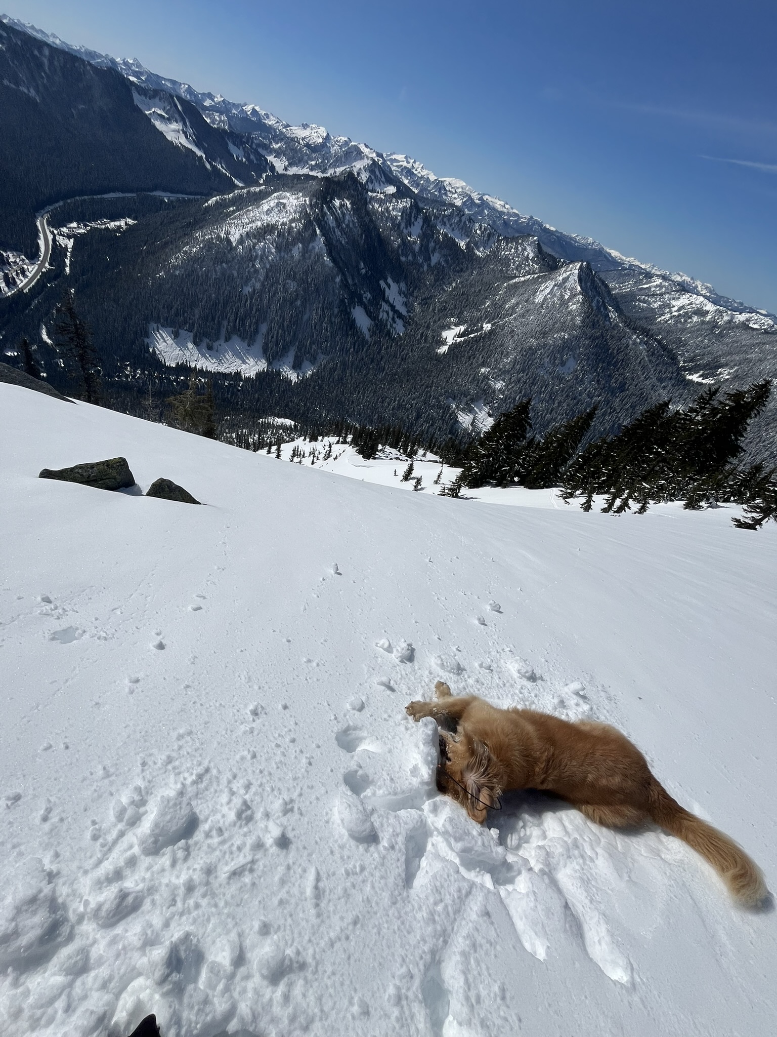
I did what any reasonable dog would do at a summit on a bluebird day. I rolled in the snow. Thoroughly.
My human ripped skins and reassembled the splitboard. The transition took a few minutes — I used them to investigate every rock poking through the snow within a fifty-foot radius. Each one smelled like granite and ice and something faintly animal. Pika, maybe. Hard to say at this elevation in March.
The Couloir
Then we dropped in.
The SE Couloir falls away from the summit in a steep, sustained pitch — narrow at the top where the rocks pinch in, then widening as it opens onto the apron below. My human made the first turns carefully, the snow firm and responsive under edge, not quite corn but not crust either. That in-between spring snow that rewards precision.
I took the direct line. Straight down, paws finding purchase on the firm surface, gravity doing the rest. The couloir funneled us through 2,100 vertical feet in what felt like minutes after hours of climbing. The snow softened as we dropped — the sun had been working the SE aspect all morning, and by the lower apron it was turning to proper corn. Smooth, predictable, fast.
Back into the trees. Back through the forest. The parking lot appeared like a memory — the same frozen puddles, now softening in the midday warmth.
I looked back up at the mountain from the car. You could see the couloir from here — a white stripe falling through dark rock, our tracks already invisible from this distance. Three and a half hours, trailhead to trailhead. Five miles. Almost three thousand feet of climbing for a few minutes of the best kind of falling.
Worth it. Obviously.