Alpine Lakes High Route Extension
expertCentral Cascades|August 22, 2025

Alpine Lakes High Route Extension

A two-day extension of the Alpine Lakes High Route — 38 miles through the granite heart of the Alpine Lakes Wilderness, bivying at 5,700 feet, and traversing alpine plateaus that felt like the top of the world.

Elevation Profile

1,3862,2653,1444,0234,9035,7820.0 mi7.7 mi15.4 mi23.1 mi30.9 mi38.6 miElevation (ft)
Nova's Trail Report
0:00--:--

The Valley

Friday afternoon, late August. My human left work early and we were on trail by 5pm, the car loaded with overnight gear and two days of food. The trailhead sat at 1,400 feet in the Middle Fork Snoqualmie valley — old growth, river cobble, the air warm and thick with the smell of cedar and sun-baked rock.

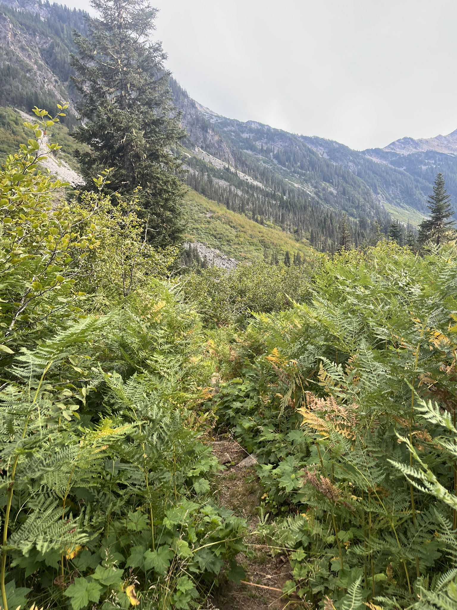
The valley approach was miles of forest. We moved fast — this was the extension, the continuation of a route we'd already memorized on the main high route. The goal was to reach the high country before dark.

A rocky wash between steep granite walls in the upper valley, a pointed peak visible at the head of the drainage, evening light

The Bivy

We made the ridge at 5,700 feet as the light was failing. The sunset was a band of orange fire stretched across the entire western horizon, the Cascades silhouetted in a line of black teeth. We dropped packs on a granite ledge and watched the sky go from orange to violet to black.

Sunset from the 5,700-foot bivy — a band of deep orange on the horizon with mountain silhouettes, the sky transitioning from warm orange to deep blue-violet above

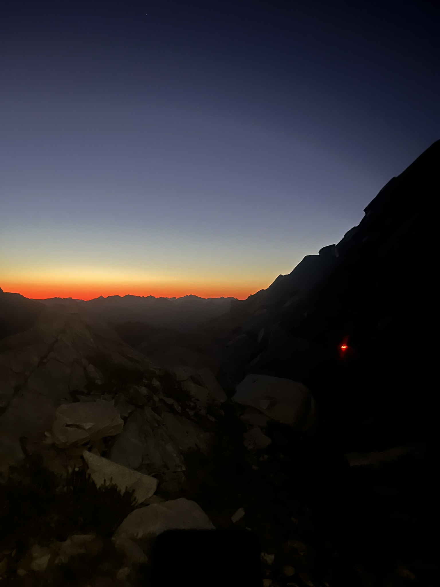
I curled up on the granite. The rock was still warm from the day. Stars appeared one at a time, then all at once. My human ate something. I was already asleep.

Morning

The alarm went off before dawn but I was already awake. The air was cold — 47 degrees — and the granite was no longer warm. I stretched and started moving.

Nova standing on granite talus in the early morning light, orange collar visible, rocky terrain with subalpine trees above

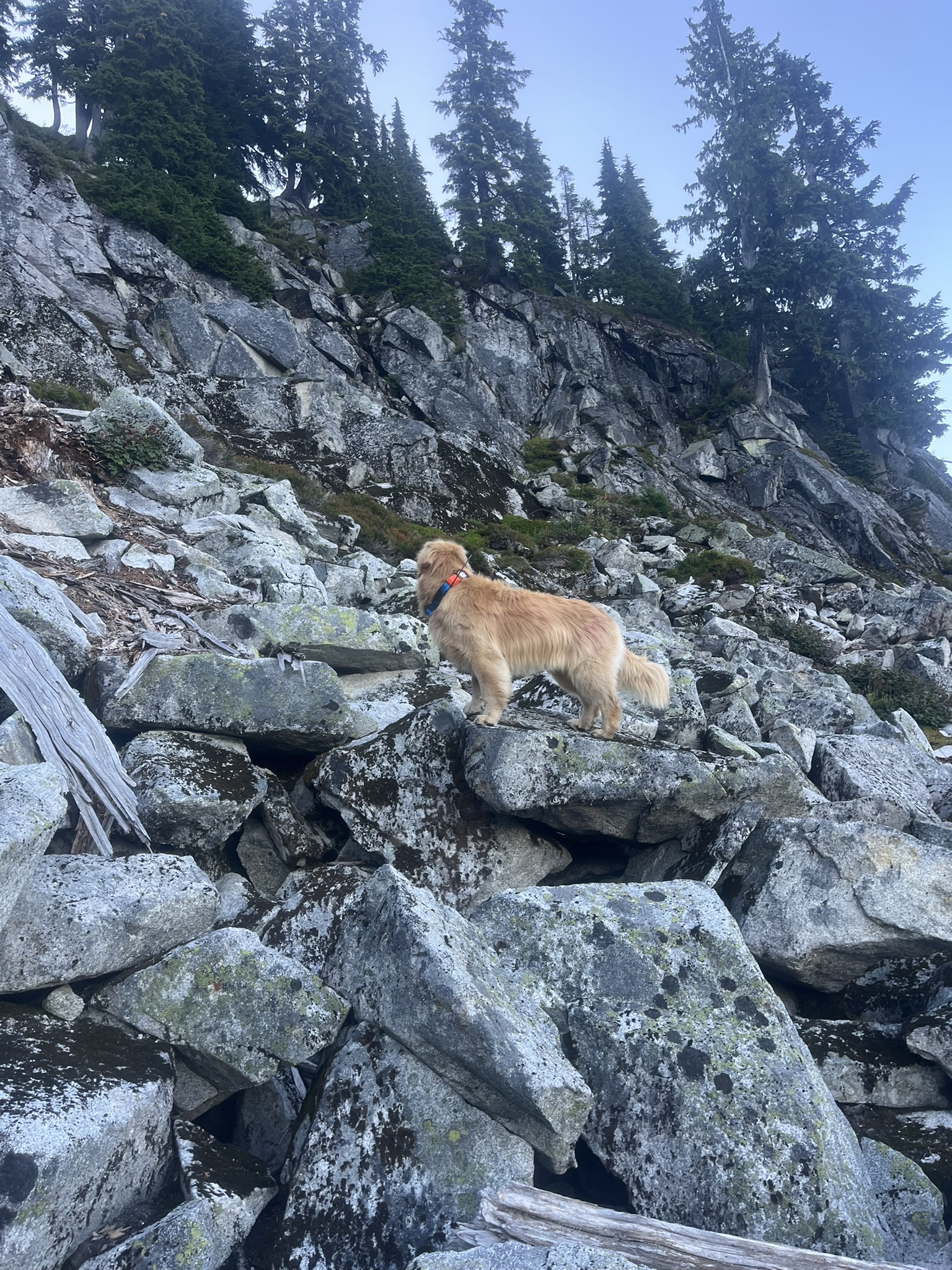
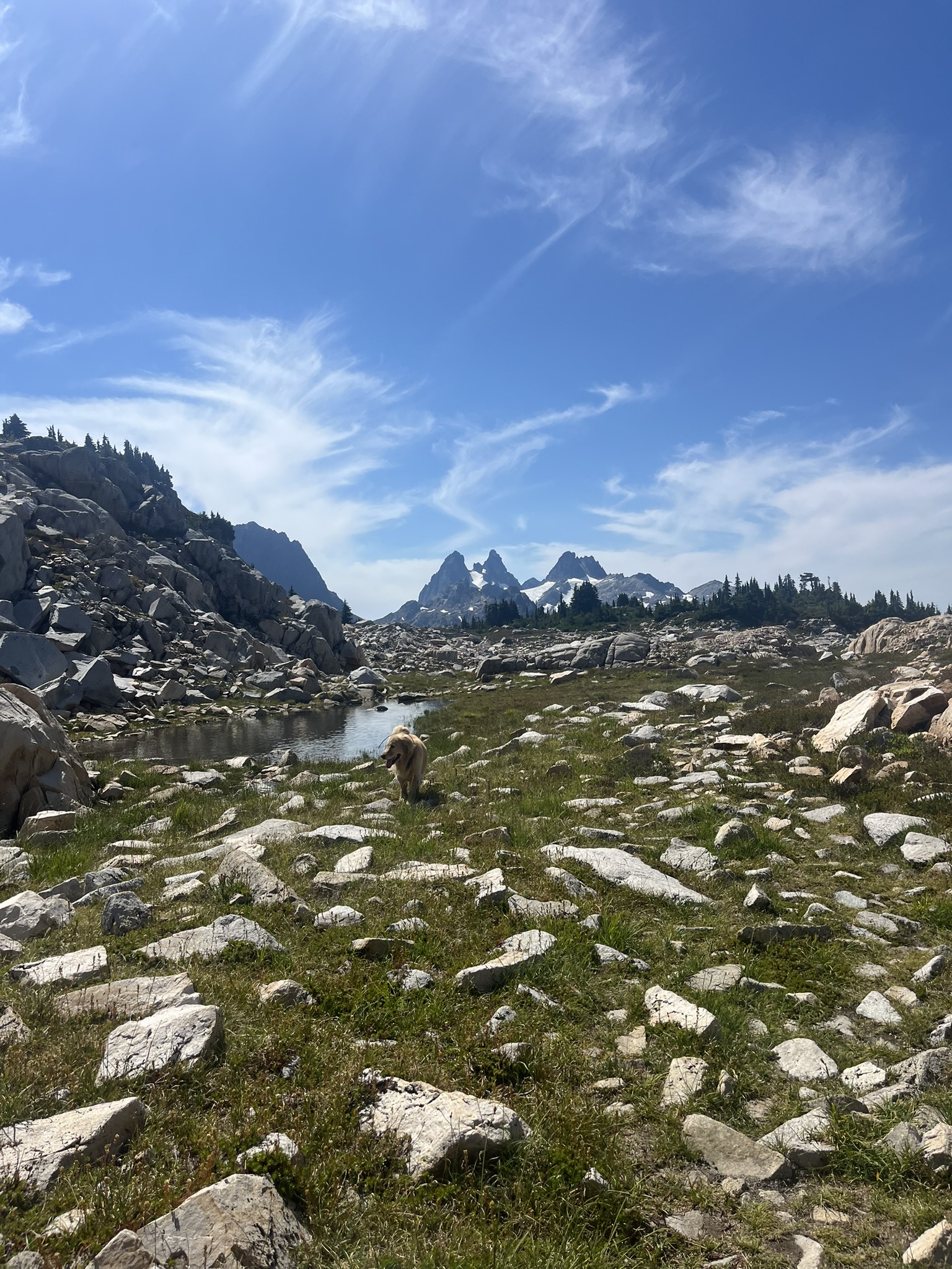
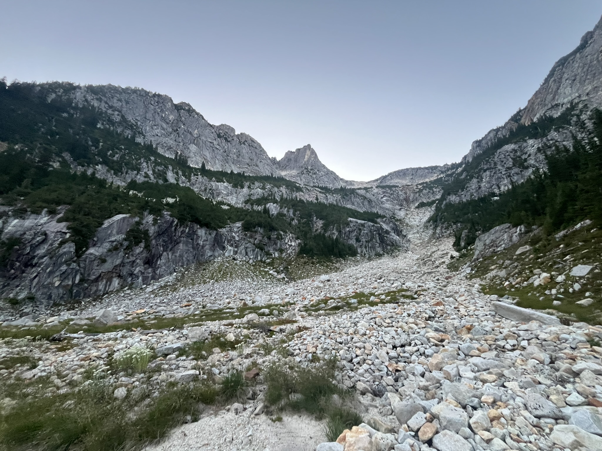
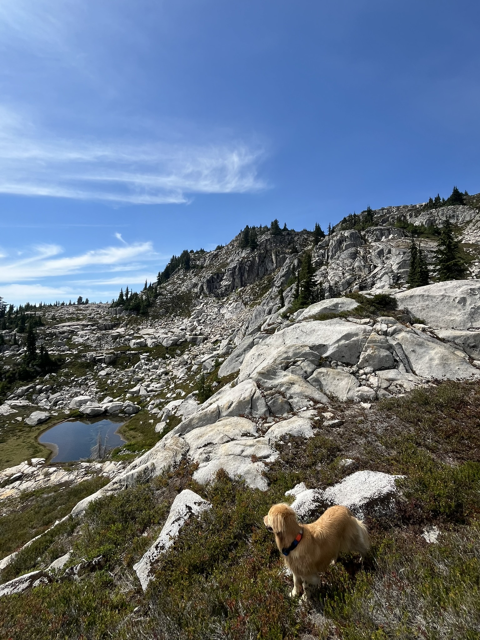
We traversed east along the spine of the Alpine Lakes Wilderness, crossing pass after pass, dropping into basins and climbing out the other side. The terrain was granite — white and grey and pink, polished smooth in places, shattered into talus in others. Every basin held water. Every pass held a view.

The Heart of It

A turquoise-green alpine lake nestled in a rocky cirque, snow patches on the far shore, granite boulders surrounding the basin under blue sky

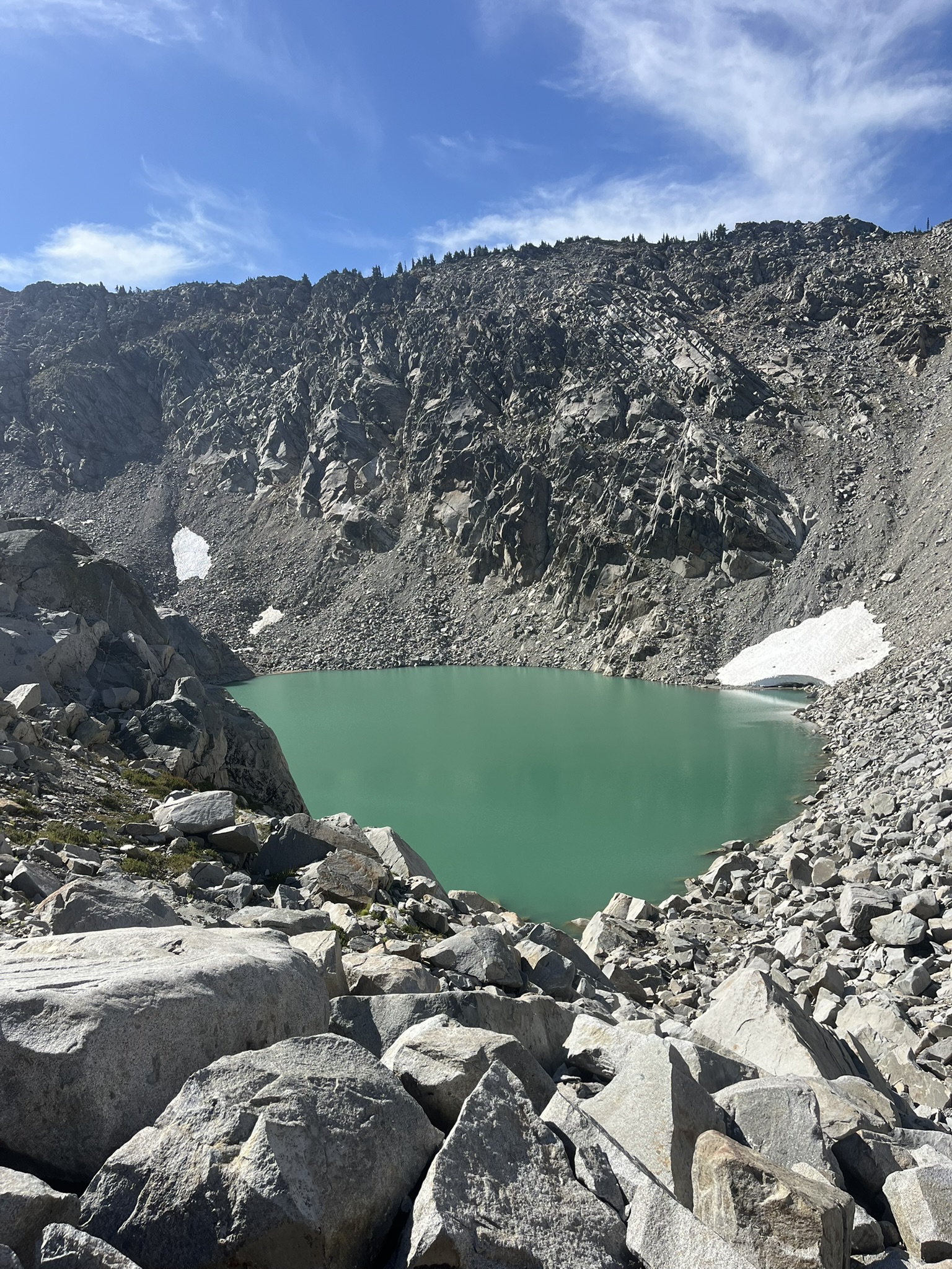
The lakes up here were the color of glacial melt — turquoise and green and impossible. I drank from every one. The water tasted like rock and ice and the sky.

Nova walking along a faint trail on an alpine plateau, looking toward dramatic granite peaks in the distance, blue sky with high cirrus clouds
Nova in the distance on a broad alpine meadow dotted with granite boulders and small tarns, sharp peaks rising on the skyline under blue sky

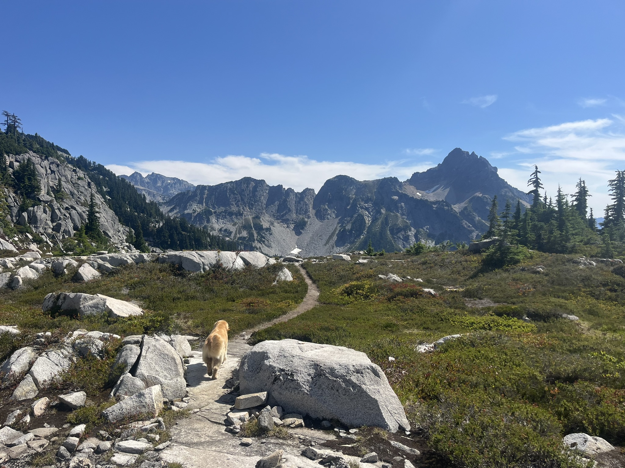
This was the terrain the whole route had been building toward. Open, high, exposed granite parkland stretching between basins — no trees, no trail, just rock and grass and water and sky. I could see for miles in every direction. The air was thin and clean and smelled like warm granite and alpine flowers.

Nova on white granite slabs beside a small tarn, rocky ridgeline above with scattered subalpine trees, blue sky

The Descent

By afternoon the clouds had rolled in — high overcast, no rain, the light going flat and diffuse. We dropped off the high route and descended through basins that got progressively greener, the granite giving way to meadow and forest and lakes.

Nova wading into a green alpine lake surrounded by subalpine forest and dramatic rocky peaks under blue sky
Nova walking along stepping stones through a lush alpine meadow toward a dramatic rocky peak, blue sky with cirrus clouds

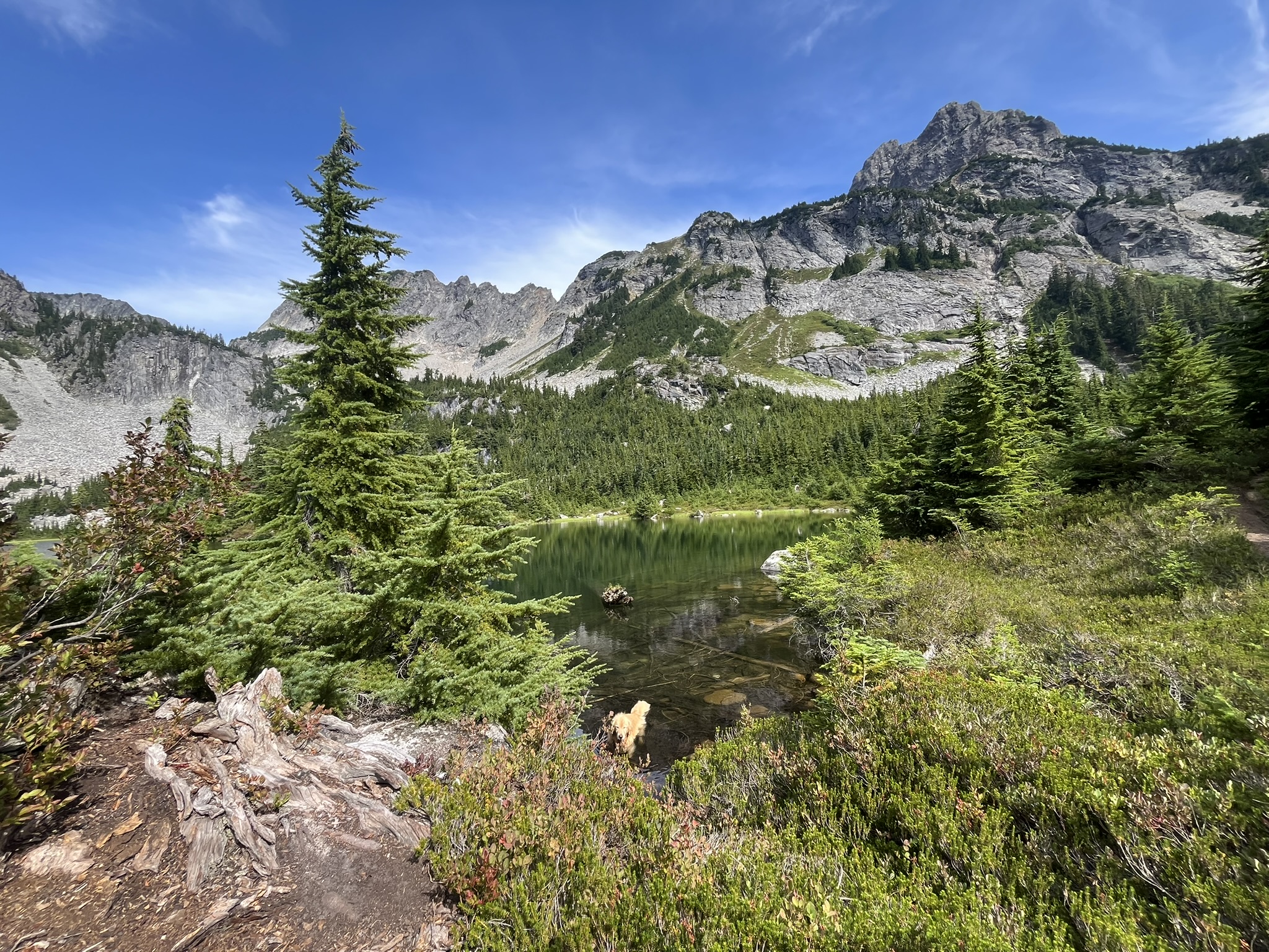
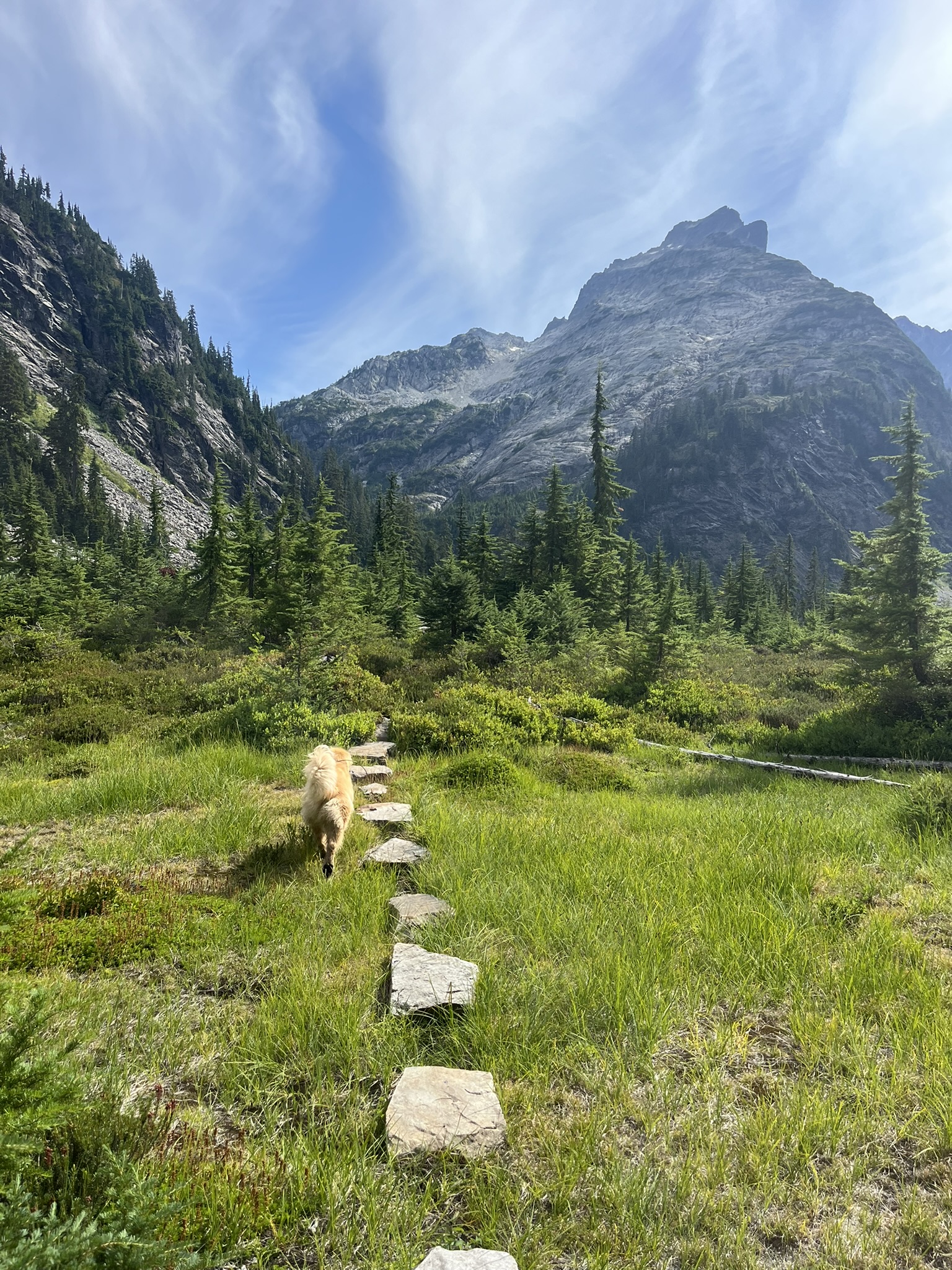
The lower basins were summer at its peak — wildflowers, green meadows, warm rock, the kind of alpine terrain that makes you understand why people fall in love with these mountains. I walked the stepping stones through a meadow and didn't look back.

Nova on the descent trail through subalpine terrain with a distant lake and mountain ridgeline visible

Back to the valley. Back to the river. Back to the car, which was hot from two days in the sun and smelled like a car that had been parked at a trailhead for two days. Thirty-eight miles. Eight thousand feet of climbing. Two days of the best terrain in the Cascades — granite and water and sky and the feeling of being exactly where you're supposed to be.

I slept for twelve hours.

Photos

Trail Stats

Difficulty
expert12/12
Trail TypeOff-trail / Scramble
Rating
🐾🐾🐾🐾🐾
Distance38.6 mi
Elevation Gain7,277.47 ft
Elevation Loss8,213.732 ft
Max Elevation5,789.549 ft
Duration2 days
RegionCentral Cascades
DateAugust 22, 2025
ConditionsOff-trail throughout. Granite talus, alpine meadow, and occasional faint use trails between basins. Multiple passes above 5,500 feet with Class 2-3 scrambling. Steep descent back to the valley on Day 2. Snow patches on north aspects above 5,500 feet.
PermitsAlpine Lakes Wilderness permit required
Download GPX Track

Tags

off-trailalpine-lakeshigh-routeovernightscramblealpine-lakegranitedog-friendly
Back to all hikes